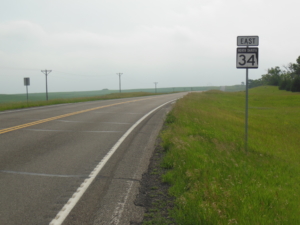
Glasgow, MT to Wolf Point, MT; 67 miles, sunny, W wind, and 50-70’s

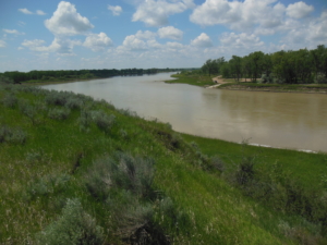
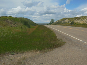
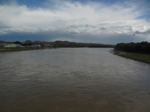
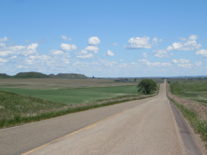
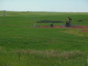
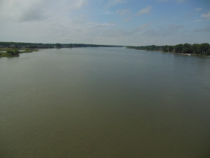
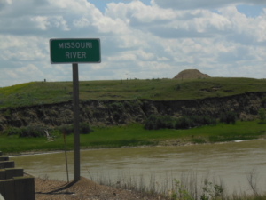
A very welcome change in the weather today, just perfect biking conditions. The route today continued to follow US 2 east for the first 20 miles, then followed quiet back roads until almost reaching Wolf Point at 50 miles. The back roads are a relief from the erratic US 2 shoulders and fast traffic. We finally are leaving US 2 behind at Wolf Point after following it for 460 miles from West Glacier. The locals call US 2 the “Hi-Line”, I guess because it is the main travel route across northern Montana. Many businesses are branded with the name. We have also seen signs that urge support for “Four for 2” to make it into a four lane road. From personal experience I think there is much they could do to just improve the current two lane version. We now turn south for 100 miles before continuing east again. The Northern Tier route we are following used to continue on US 2 across North Dakota but was changed a few years back due to unsafe biking conditions through the Williston, ND oil boom region. We are also leaving the railroad behind with its frequent passing trains. I rode a little extra past Wolf Point as tomorrow is a long stretch between towns. In so doing we crossed the Missouri River.
 

Wolf Point, MT to Glendive, MT; 93 miles, partly cloudy, 15-20 mph winds from the west

Today’s ride headed south on MT 13 for 40 miles or so. There was a cross wind, it was quite hilly but the road surface was good, and there was light traffic. Scattered showers were predicted and of course I was rained on for about 300 yards as I approached Circle, MT where we had lunch in a nice local deli. The plan was to continue riding for another 20 miles or so toward the bigger town of Glendive and then do a shuttle for an overnight stay. Well, the route turned east on MT 200 S at Circle and it was tailwind heaven.  There was one long climb to a high spot at about 55 miles but then it was downhill or level thereafter with a tailwind push. I do not recall any past rides where I had such favorable conditions for so long. I literally was coasting for minutes at a time at 20+ mph. All I had to do is hang on. So we easily made it all the way to Glendive for the evening. The landscape changed as we headed east from wheat fields to drier range land. The Yellowstone River goes through Glendive and I crossed it on an old road bridge converted to a bike path.


Glendive, MT to Medora, ND; 64 miles, sunny, west winds, and 70-80’s

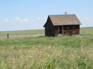
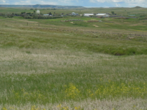
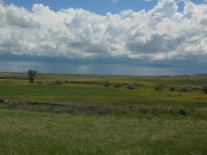
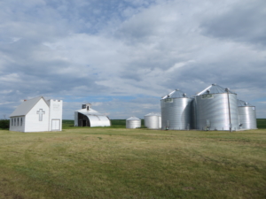
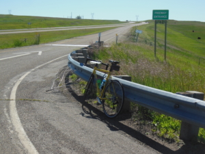
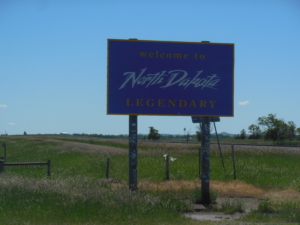
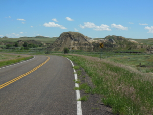
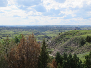
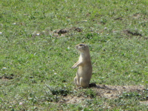
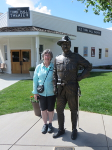
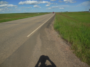
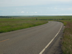
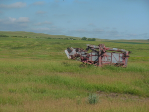
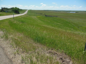
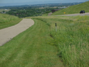
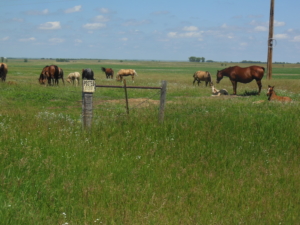
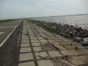
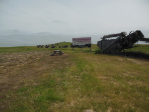
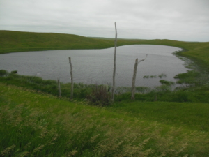
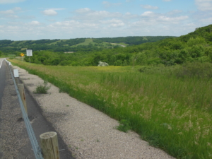
Yesterday it seemed as though there was a continuous descent into Glendive for the last 20 miles. Well today starting out it seemed as though there was a continuous climb for 20 miles out of Glendive. Perhaps something to do with the Yellowstone River going through Glendive. Today’s route alternated between I-94 and parallel quiet but hilly back roads. Back east bicycles are prohibited from interstate highways and we wouldn’t think about riding on I-390 in Rochester. Here bikes are permitted on interstates and in some places it is the only option. The shoulders are wide and once you get used to vehicles whizzing past at 80 mph (the Montana speed limit), it was fine. In fact I felt safer on I-94 than some stretches of US 2. A milestone was achieved as we exited Montana and entered North Dakota. It took us 13 days to cover almost 800 miles to cross Montana. We are closing in on the 1/3 point of the trip. I had a nice chat today with a fully loaded guy heading west. He started in Atlanta and is heading to Oregon on the Lewis and Clark route. He was delayed in Missouri due to the flooding there. We are staying in Medora, ND tonight, home of an outdoor patriotic musical with a Western theme that includes horses and a Teddy Roosevelt appearance. Sally and I saw it several years ago so not this time. But Sally did have brief chat with Teddy in town (impersonator actor). We did visit Theodore Roosevelt NP but alas no bison were seen. So as compensation I had a Buffalo burger for dinner. Quiz: which photos were taken in MT today and which in ND?


Medora, ND to Richardton, ND; 61 miles, sunny, light winds, 70-80’s

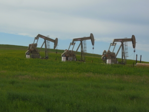
Medora is located in the bottom of the North Dakota bad lands which means today’s ride started with a several miles long climb out. There was a 10 mile or so stretch on I-94 again, but then back roads the rest of the day. The terrain was nicely rolling to keep things interesting. Although this area is not the oil fracking hot spot of northwest ND, there are scattered conventional oil wells operating in the fields. We reached Dickinson, ND after about 40 miles. Dickinson is a major milestone as it ends this Adventure Cycling map section we are using. It started in Cutbank, MT and totaled over 500 miles. The new map section ends in Fargo, ND, a mere 343 miles away. More on the maps we are using in a future post.

We took a planned break in Dickinson to deal with a mechanical. Not the bike fortunately, but we noticed yesterday that the truck steering started to be stiff and erratic. It seemed like a good idea to get it checked out so we went to the local Toyota dealer. They were very accommodating to fit us in and we learned the problem requires the replacement of the steering wheel shaft mechanism. They could get the required parts by next Monday, but we requested them to have them delivered to the Fargo dealership instead so we can keep moving. The roads in ND are straight so what could possibly go wrong. Actually, the symptoms  have gone away for the moment of course. After dealing with the truck I rode another 20 miles in late afternoon to take advantage of the good weather.


Richardton, ND to Mandan, ND; 70 miles, sunny, 10 mph East wind, and 70-80’s

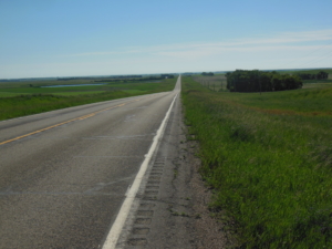
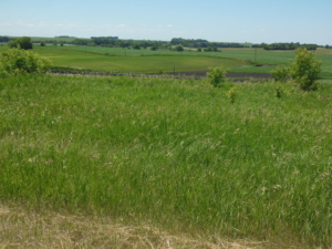
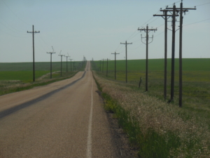
Another beautiful day for cycling. While I experienced my first sustained day long head wind on the trip, it was more like a breeze and no big deal. The route mainly followed old highways that parallel I-94 with very little traffic and good pavement. There was one last 12 mile stretch on I-94 to avoid a stretch of gravel road. This is the last stretch of Interstate for the ride and I won’t miss the experience. The ride was hilly with long 100-200 foot climbs and descents that made the miles go by. I do have to comment further about rumble strips (deep groves in the pavement). I acknowledge and appreciate the safety rationale for vehicles. Not that I’m complaining but they can be a pain for cyclists. Yesterday I learned that ND deploys cross lane rumble strips on back roads before stop signs like Iowa. I learned that after a good shake when I didn’t see the first one I encountered going downhill. ND spares no expense, there are usually five sets of the things before a stop sign. On I-94 today the rumble strips were perpendicular to the driving lane on the shoulder stretching across almost the entire width of the shoulder. There was just enough space left to squeeze by at the edge of the shoulder. If the photos look a little repetitious, well that’s the plains. It is actually very green and beautiful land to ride through.

I don’t stop that often to take photos so I refer my readers to the SAG driver’s Facebook posts for a more comprehensive collection of photos (Sally Kuehl).


Mandan, NT to Hazelton, ND; 54 miles, early storm, then clearing, 10-20 mph wind out of SE/SW, 70-80’s

Today was not entirely routine. We were delayed for two hours or so in the morning to let a storm line pass through. The first several miles weaved its way through commercial streets, residential streets, and bike paths through the south side of Mandan and Bismarck, and crossed the Missouri River. The river is somewhat wider than the last time we crossed it in MT. There was a long climb out of the river valley once the route left the cities. The hilly route zigzagged for awhile south and then east with the strongest headwinds on the south legs. Today was the first day we noticed any humidity, a sign we are making eastward progress. Another sign is that we crossed into the Central Time Zone yesterday. We are staying in a small local motel tonight in the small town of Sterling, ND. The route from here to Fargo will be south of I-94, with only small towns and limited services. In fact we have no Internet service tonight so this will be posted tomorrow.


Braddock Rd at US 83 to junction of ND 30 and 46; 60 miles, mostly cloudy, 20-30 mph winds SE/E

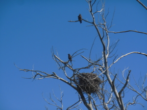
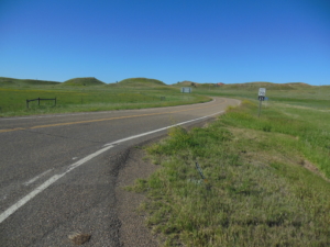
Today was one of those days when you just put your head down and pedal. Strong headwinds were present for 52 miles before the last eight miles provided a vector of tailwind, thank goodness. Average speed was between 8 and 9 mph. Actually the weather did not exactly match the forecast. We started early to finish earlier since there was a heat warning for the afternoon. Instead we got wind and a little cold front passed around noon that actually lowered the temperature, and changed the wind direction and increased the speed. The route followed state highways with virtually no traffic. I did look up from the pavement long enough to capture some photos. One observation, it is bird nesting time. As you ride along you flush them off their nests in the long grass along the road, and they then harass you by flying just over your head or in front of you for a 100 yards or so until you have crossed their safety boundary. There are many ponds of various sizes along the road as well, “prairie potholes”. You know the wind is blowing hard when there are  whitecaps on some of them.

Today is our 45th wedding anniversary.  Happy anniversary to my life partner and SAG driver. Thank you for sharing these adventures. Ten years ago this day, when I first crossed the country, we celebrated by camping in Utah far from any town. Tonight we are in a motel in Jamestown, ND, a definite improvement.


Junction of ND 30 and 46 to Little Yellowstone Park; 70 miles, sunny, N wind at 10-12 mph, 70-80’s

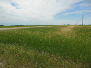
Much better riding conditions than yesterday. Today’s route followed straight as an arrow ND 46 east for the entire day without passing through any towns. The map warned, “No services for the next 78 miles”. After a few initial hills, the land flattened with only two river valleys to descend and climb. The land is looking more eastern with farms and more tree lines. As the crow flies we are about 50 miles from the MN border. The day turned warm in the afternoon so finding a cafe at 60 miles was very welcome to get a cold drink. I talked with two west bounder cyclists at mid day. One was from the Bronx, and they started in Chicago.
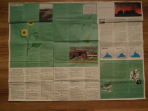
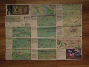
So how do we know the route? We are using maps from the non-profit Adventure Cycling. They map various routes across the county. We are currently following the “Northern Tier” route which is why we see other bike travelers. Each map covers around 400 miles of travel. For example, we are currently following Map 4 from Dickinson, ND to Fargo, ND. Each map divides the route into 25-30 mile sections with detailed instructions on one side. The other side contains information on the history and culture of  the area, information about services, and information about road and traffic conditions that may be encountered. I have found them to be quite accurate. See the photo below for an idea of what they look like.


Little Yellowstone Park to Fargo, ND; 68 miles, partly cloudy, wind E/NE at 10 mph, 70-80’s

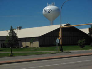
Today’s ride was straight and flat for 40 miles continuing on ND 46, then a zigzag of back roads to the outskirts of Fargo, before finishing in the city on a bike path. It is hard to come up with any interesting observations as the ride was pretty routine through farm country. We had a nice and early 7:15 AM start as we had a 1 PM appointment at the Fargo Toyota dealer. Remember that little episode back in Medora when the truck steering was binding and we had it looked at in Dickinson? And we ordered parts to be delivered here in Fargo so we wouldn’t lose time. And then the steering worked fine all across the state. Well we talked to the dealer here and jointly decided, never mind. If it ain’t broke, don’t fix it. It must have been a pebble or something that caused the problem. What could possibly go wrong, eh? After the dealer visit we had time for more riding to complete the day. The water tower says “The City of Fargo Far More”.
 

Fargo, ND to Fergus Falls, MN; 59 miles, sunny, S/SE wind at 10 mph, 70-80’s

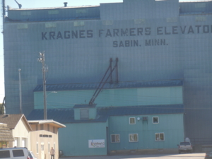
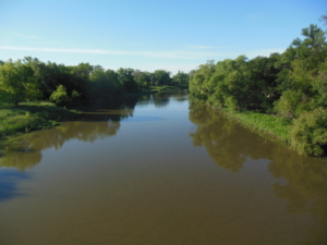
A beautiful day for riding although a bit warm in the afternoon. We are now in Minnesota after crossing the Red River from Fargo, 200 yards into the ride. I always thought the Red River was larger given the history of Fargo flooding. Since there was no “Welcome to Minnesota” sign on the county road I was on, I substituted the photo of the grain elevator which is the first object I found that said “Minn”. The first half of the ride was flat but on mainly very nice county roads with low traffic in farm fields. One local crop is sugar beets just to keep you informed. Then construction appeared, what we call tar and feather, otherwise know as oil and loose stone. The flagman let me through and for most of it I could ride on the finished surface on the left side of the road. After while I wondered why no traffic was coming at me. Well it turns out they closed the road as they were applying a new layer to the entire road. So I had to slowly make my way across fresh oil for three miles. Talk about stone accumulation on the tires! But all’s well that ends well and we continued on to Fergus Falls.

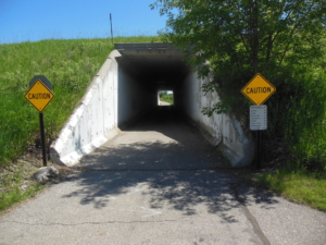
The Adventure Cycling map for MN provides a north or south route option. The north option goes to Bemidji and then south. It is prime resort territory and we were concerned we might have trouble finding lodging or even camping spots this week. So we are taking the south route, which is called the “Trails Alternative”. It is shorter, but best of all, starting tomorrow I will be following paved bike trails for almost 100 miles on the ” Central Lakes Trail” and the “Lake Wobegon Trail”. So excited to be visiting Lake Webegon.  The tunnel is the start of the trail in Fergus Falls. Not sure what kind of birds were nesting but they were large and not Bald Eagles.