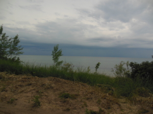
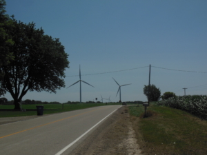
Gulliver, MI to St. Ignace, MI; 68 miles, sunny, slight breeze SW, 50-70’s

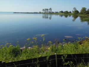
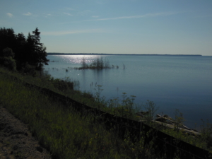
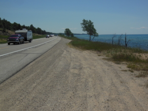
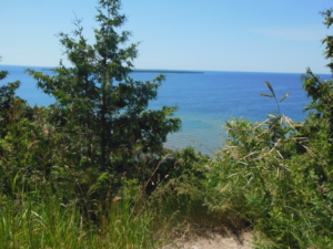
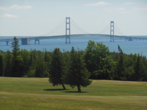
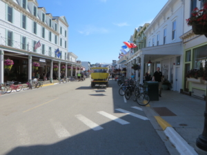
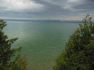
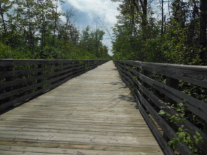
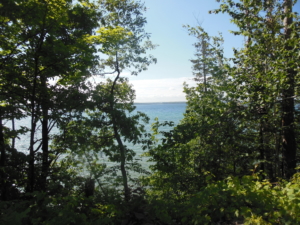
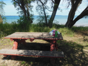
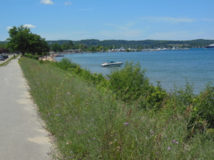
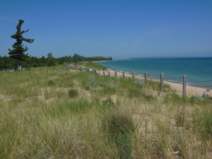
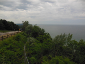
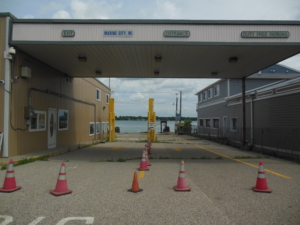
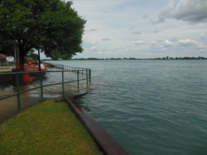
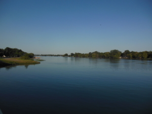
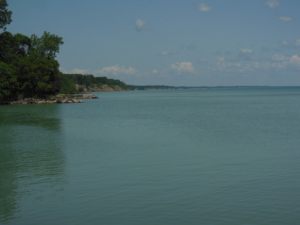
We were fortunate to have another beautiful day for riding. The route continued on US 2 to St. Ignace. This being a going -home-after -the -weekend day the traffic was even greater than yesterday. In St. Ignace it got backed up to go over the Mackinac Bridge to the lower peninsula of Michigan. The bridge goes over the Mackinac Strait which separates Lake Michigan and Lake Huron. Actually, they are really just one lake. I made good time so we had plenty of time to take a passenger ferry to Mackinac Island for dinner. For those who don’t know, the island is vehicle free. One gets around by walking, riding a bike, or by horse drawn carriage. There is a nine mile bike loop around the island. Tempting, but common sense prevailed. Bikes are not allowed on the bridge. The official Adventure Cycle route provides two options to get across the straight. The first is to ferry to the island then take another ferry across the straight to Mackinaw City. The second is to get a ride from someone from the bridge authority. To save time and money we will drive across first thing tomorrow and rejoin the route in Mackinaw City.


Mackinaw City, MI to Charlevoix, MI; 72 miles, rain in AM then clearing, 5-10 mph S, and 60-70’s

Today we started down the eastern shoreline of Lake Michigan. There are large bays to circumnavigate so at times we were losing ground by going west. I had an early morning surprise encounter with a bear cub on a bike trail probably no further than half a mile from Mackinaw City. He/she popped out of the woods probably only 30 feet in front of me and took off like a shot after seeing me. I immediately stopped and listened and watched to see if mom was around. No sound so I continued glad for the experience. The route followed rolling back roads, a welcome change from the busy highways of the last two days. One road is called the Tunnel of Trees Road. It is rather narrow and as the name implies goes through the forest near the lake. That’s when it started to rain. It had to happen sometime. There were many expensive second homes every now and then back in the trees on the lake. These bays are a big summer resort area. We had lunch/breakfast in the town of Harbor Springs that was over flowing with visitors in stark contrast to the beginning of the day. The remaining 30 miles of the ride was much more congested but followed a good paved bike trail with short stretches on side roads along the lake shore to Charlevoix. The bike path keeps bikes off of busy US 31.


Charlevoix, MI to Bingham, MI; 70 miles, sunny, 10-15 mph SW, 60-80’s

The route today followed back roads when available with short stretches on US 31. US 31 is also known historically as the “Dixie Highway”, because it was developed in the early 20th century to connect the Midwest with the South.  There was a lot of variety in the riding. Some roads were hilly in farms and orchards. This is prime cherry growing territory and the trees are loaded with ripe red cherries. Some roads were more flat in the trees along Lake Michigan or Torch Lake with frequent lake side homes. We had lunch at a great picnic area next to the water. After lunch I came upon some “road magic” of a cooler of cold water, like trail magic on the Appalachian Trail. My route follows the US 35 Bike Route that explains the sign. This is the first time on this trip or my earlier cross county trip that I have encountered such a thing. As we neared Traverse City the route followed  the “TART” bike trail through the city. It was a little confusing at times to discern where the trail was going. I have personal evidence that indeed Lake Michigan is as high as Lake Ontario above long term averages. It is not fake news. The bike path goes under US 31 along a canal in the city. The path was 2-3″ underwater due to the high water. No problem for my high water bike. Sally and I met up not long after that by a small beach just north of the city. By then it was hot so I got a short swim in. It was cold but refreshing. I finished the day after the swim with another 10 mile on the bike trail.


Bingham, MI to Frankfort, MI; 67 miles, sunny, 5-10 mph NW, 70-80’s

I rode to the end of the TART bike trail to start the morning. Then over the hill from the bay to the lake to ride along M-22. The route paralleled the Lake Michigan shoreline with the occasional large lake just inland from Lake Michigan. M-22 was a delight to ride, nice rolling terrain, good shoulders, light traffic, and plenty of shade. For you cyclists, I recommend this area to explore by bike on some great day trips. The highlight of the day was passing by Sleeping Bear National Lake Shore. It is best known for tall sand dunes along the shoreline. While we did not climb any, we did take advantage of a nice spot to have lunch in the park. The small towns along the route are all busy with  tourists as it is the season, but it is not over crowded. The last 10 miles of the ride had more serious ups and downs but the tailwind helped make them go by quickly. Otherwise, a pretty routine ride today.


Frankfort, MI to Lake County line (Free Soil, MI); 69 miles, brief rain showers, cloudy, 10-12 mph S, 70’s humid

We continued south following state road M22 along the lake shore. There were three serious climbs up and over the lake bluffs between towns at lake level. The weather was overcast and it actually rained a couple of times enough to make the road and me wet. It was actually welcome to help stay cooler in the humid air. The traffic was much less as we have moved south of the more popular tourist areas. At the city of Manistee we left Lake Michigan behind and 15 miles south of the city made a left turn to start the easterly trek across Michigan toward Ontario. That left turn seemed like a real milestone of progress toward NY. This part of Michigan still has plenty of forest but farms are becoming more frequent. We are staying tonight in the town of Wolf Lake in Lake County. So there must be some lakes around here. The area is remote enough that it necessary to drive off route to find a place to stay.


Lake County line to Lake George, MI; 70 miles, clouds then partly cloudy, 10-12 SW, 70-90’s, humid

The route today zigzagged to the east with a very generous tailwind for the east bound legs. The landscape continued to be mostly forest, with the occasional farm, and small lakes. There were several river crossings, such as the Muskegon River, on their way to Lake Michigan. There was one nice short segment of a rail trail to avoid a busy highway into the town of Leroy. It’s always a puzzle on how local road maintenance is managed between counties and even townships.  Segments of the same road go from good to poor and back again in the space of a few miles. Today’s weather was reminiscent of those trips across Iowa on RAGBRAI (Register Annual Great Bicycle Ride Across Iowa), hot and humid. Those readers who have done RAGBRAI can relate I am sure. The good news is there wasn’t an “extreme heat advisory” here, only a “high heat advisory”. By starting early and keeping hydrated, it really wasn’t that bad as we were off the road by 2:30. Looks like more of the same tomorrow to look forward to.


Lake George, MI to Bay City, MI; 68 miles, 5-6 mph SW, cloudy, 70-80’s

The day started cloudy and cooler than predicted as it had rained overnight. However, there was a big black cloud to the west that threatened rain and worse, with storms predicted later in the day. Funny (and lucky) thing, it never did rain while I was riding. That black cloud just seemed to sit there all day. It did finally storm late afternoon while we were eating dinner. So while it was humid, the sun never really came out so the temperatures were not as high as yesterday. The route joined the Pere Marquette Rail Trail in Clare and I rode it for 30 miles or so to Midland, MI. It is another well maintained paved trail with small towns along the way. Anytime the route goes through a larger city like Midland more attention is needed to follow the cue sheet as there are many turns to navigate through bike friendlier streets. Until of course one of those streets is under construction and closed. Then one relies on dead reckoning to get back on route (the phone is the last resort). I may have mentioned our Adventure Cycling route is coexistent with US Bike Route 20. The latter is well signed to make route finding easier. I have three wildlife observations from today. I happened to look over into a woods as I passed by to see a deer calmly sitting just off the road as though it had nothing better to do than watch the traffic go by. At one point I came upon a mass tiny frog (half an inch at best, maybe tree frogs?) migration across the road. I hope I did not end any frog lives prematurely. Lastly, it appears to be a good year for rabbits, at least along the bike trail. They have been breeding like, well, rabbits.


Bay City, MI to Fish Lake Rd (North Branch, MI); 73 miles, 5-8 NE, sunny, 70-80’s

Some days are routine meaning you ride the route according to the directions in a reasonable amount of time without any impediments. Fortunately most days are routine. In Bay City the route followed a bike path along the river. Until it ended at an intersection with no signage. My dead reckoning took over  (works two out of three times) and I found the trail after navigating city streets. Then the trail was fenced off due to the tall ships festival underway. It apparently has a pirate theme. Repeat the process of re-finding the trail. Then it was closed due to high water in the river, so more route finding. But once I cleared Bay City things were back on track. We passed through Frankenmuth, MI. It is a tourist town known for Bavarian traditions. The route passed through a covered bridge, the second of the trip. And then east of town, the road was closed with no detour marked. Google Map provided guidance on a reasonable detour that only added a couple of miles to the trip. The remainder of the ride was routine on county roads and two more nice rail trails. The storms of yesterday knocked out power that has not been restored in some of the towns we passed through. The trails had a lot of tree debris on them. Day’s like today are all part of the adventure of course, so not complaining, just reporting.


North Branch, MI to Marine City, MI; 77  miles, partly cloudy, 10-15 NW wind, 60-70’s

The first 5o miles of today’s ride felt a lot like eastern North Dakota. This part of Michigan is mostly farms, and the roads were flat and straight as an arrow for several miles at a time following state highways. Traffic was moderately heavy and the shoulders were somewhat narrow, so not a premium cycling experience. However, there was a generous tail wind so I made good time. The remainder of the ride was a  combination of short bike trail segments and local highways from Port Huron down to Marine City on the St. Clair River. The St. Clair River flows out of Lake Huron and divides Michigan from Ontario in Canada. The river is high too. The prescribed route would have us cross the river from Marine City into Canada on the family run Blue Water Ferry. However, it is closed down due to ice damage a year ago (we knew in advance). So we packed up, and drove north to cross the border over the Blue Water Bridge between Port Huron and Sarnia, Ontario, then south along the river to the town of Sombra, Ontario where the ferry would have delivered us. We are headed to New York through Ontario along Lake Erie.

So Ontario is not actually a US state as you may have noticed. Since I have plenty of time to think about stuff when I am riding, it occurred to me I can’t really call this a cross country trip. It is really a cross continent trip. I kind of like the sound of that.


Sombra, ON to New Glasgow, ON; 67 miles, sunny, 10-15 mph N wind, 60-70’s

The ride started at the Ontario side of the closed ferry in Somba. The route followed the St. Clair river a few miles before heading east and south on county roads before turning east to parallel the shore of Lake Erie. I enjoyed a nice tailwind on the south legs. This is flat farm land  similar to Michigan. This is the most southerly part of Canada so agriculture is big. We had lunch with an unobscured view of a fine looking soybean field. The roads have been generally good with moderate local traffic. Although, they sure move a lot of dirt and rocks around judging by the volume of large trucks doing so. We passed through many small towns and cross roads. The Lake Erie shoreline is about a mile away from the road we are following so not many views from the bike. You have to like progressive Canada, eh. We have seen several large solar farms and there are many windmills along the lake shore.