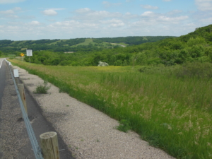
Junction of ND 30 and 46 to Little Yellowstone Park; 70 miles, sunny, N wind at 10-12 mph, 70-80’s
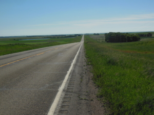
Much better riding conditions than yesterday. Today’s route followed straight as an arrow ND 46 east for the entire day without passing through any towns. The map warned, “No services for the next 78 miles”. After a few initial hills, the land flattened with only two river valleys to descend and climb. The land is looking more eastern with farms and more tree lines. As the crow flies we are about 50 miles from the MN border. The day turned warm in the afternoon so finding a cafe at 60 miles was very welcome to get a cold drink. I talked with two west bounder cyclists at mid day. One was from the Bronx, and they started in Chicago.
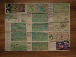
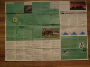
So how do we know the route? We are using maps from the non-profit Adventure Cycling. They map various routes across the county. We are currently following the “Northern Tier” route which is why we see other bike travelers. Each map covers around 400 miles of travel. For example, we are currently following Map 4 from Dickinson, ND to Fargo, ND. Each map divides the route into 25-30 mile sections with detailed instructions on one side. The other side contains information on the history and culture of the area, information about services, and information about road and traffic conditions that may be encountered. I have found them to be quite accurate. See the photo below for an idea of what they look like.