
Glory
2021 CSP graduate 2021 College graduate 2017 Secondary School graduate 2013 Tumaini Junior School graduate
Glory
Transitioned out of CSP in 2019 Completed one year of college – pharmacy studies Secondary School class of 2017 Tumaini Junior School class of 2013 Twenty year old Glory comes from Arusha town. Since her December 2009 CSP enrollment, she gained confidence and ability in all her classes, from primary school through secondary school. After […]
Elijah
Transitioned out of CSP in 2020 2017 Secondary School graduate 2013 Tumaini Junior School graduate
Agness
2019 CSP Graduate currently working in the tourism industry 2019 Vocational Institute graduate 2017 Secondary School graduate 2013 Tumaini Junior School graduate
Rose
Transitioned out of CSP in 2021 2018 Secondary School graduate 2014 Tumaini Junior School graduate
Charles
Transitioned out of CSP in 2019 Arusha Modern Secondary School class of 2018 Twenty two year old Charles comes from Karatu. Prior to his enrollment at a private secondary school in Arusha in 2014, Charles sold bracelets and other trinkets to earn money for his family between secondary school lessons. After graduating Form IV, Charles […]
Charles
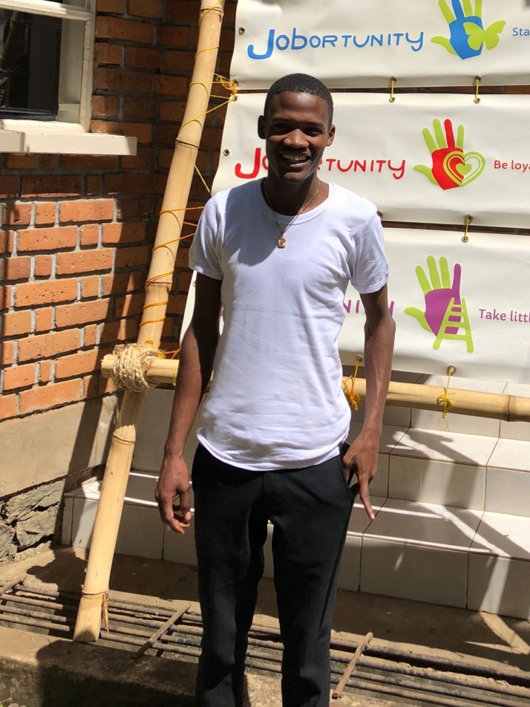
Transitioned out of CSP in 2019 Former Jobortunity Student Tumaini Junior School class of 2014 Twenty year old Charles comes from Moshi. Following his December 2009 CSP enrollment, Charles became more serious about his school lessons, especially his favorite subject, mathematics. After completing two years of secondary school, Charles earned a spot at Jobortunity in […]
Naomi
Currently pursuing a 3-year clinical officer degree 2019 Tumaini Senior Secondary School graduate 2015 Tumaini Junior School graduate
Baraka
Currently pursuing a 3-year mechanical engineering university degree 2023 3-year college graduate (diploma) 2019 Secondary School graduate 2015 Tumaini Junior School Graduate
Shedrack

2024 CSP graduate 2023 College certificate holder with a focus on safari and tourism industry 2021 Secondary School graduate 017 Tumaini Junior School graduate