New Glasgow, ON to Port Rowan, ON; 78 miles; sunny, 10 mph NW, 60-70’s

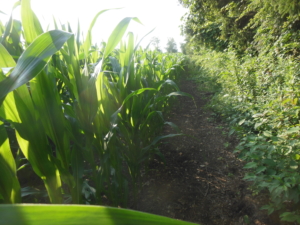
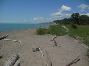
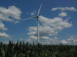
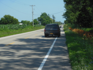
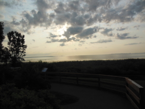
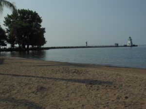
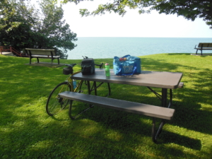
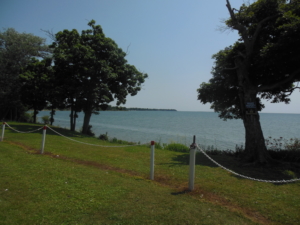
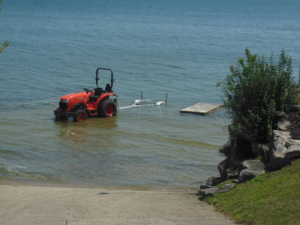
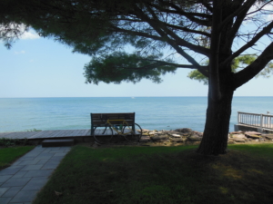
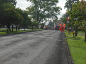
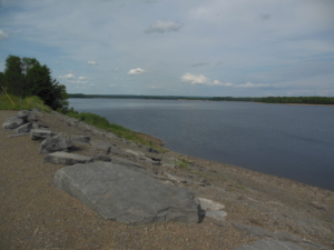
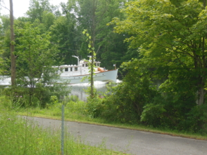
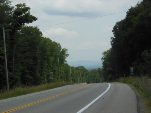
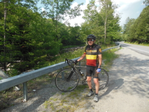
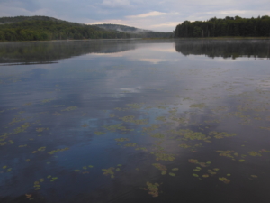
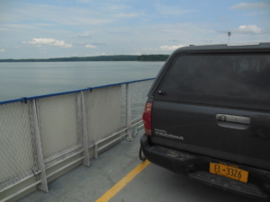
Yet another good day for cycling. Overall we have been very fortunate to have good weather much of the time. On today’s ride we continued to follow county roads along Lake Erie. The land is mostly flat. However, I learned that when you arrive at a town with “Port” in it, it means that there is a river involved going to the lake. And that means there is a steep hill down to the level of the lake. And that means a steep climb out of the mini-valley to continue east. The lake shore is on a bluff otherwise. In the town of Port Bruce we encountered the dreaded “Road Closed” sign due to bridge repair. Fear not, there was an alternative temporary bridge. The route there took us along the local beach and the discovery of a local food stand we stopped at, that we would not have found otherwise. In reference to the photo of corn, those readers familiar with riding across Iowa will understand the context. For others, please use your imagination. Windmills continue to be located along the shoreline, although I saw at least one sign against new windmills so there is some controversy. And I added a photo of our trusty SAG wagon that just turned over 100,000 miles.


Port Rowan, ON to Lowbanks, ON; 73 miles, sunny, SW at 5-10 mph, 60-70’s

Today’s ride continued to follow the Lake Erie shore line on local, low traffic side roads. The terrain was a little more rolling than the pancake flat farm land earlier. There were gullies every now and then with short but steep grades to spin up. Momentum from the down was good enough to get half way up the up. There are many cottages along the lake shore with the occasional public access beach. We noticed that it was becoming more commercialized as we head closer to the Niagara River. We passed one giant industrial plant that I believe is an iron ore smelter. We had our share of road construction to deal with, but only the SAG wagon had to actually detour. We had lunch at Peacock Point in a nice local park overlooking the lake. Down the road I had to stop and take a picture of one person’s solution to launching their boat in high water, a garden tractor.


Lowbanks, ON to Wilson, NY; 78 miles, sunny, PM pop-up storm, 5-10 SW, 60-80’s

The first ten miles or so continued to follow Lakeshore Dr along the lake until we reached the city of Port Colborne. Port Colborne is the southern terminus of the Welland Canal. It is the bypass of Niagara Falls for St. Lawrence Seaway shipping. I next rode an eighteen mile bike path to Fort Erie which is just across the start of the Niagara River from Buffalo. Fort Erie is the end of the Lake Erie Connector map section that we have followed for 505 miles from Wolf Lake, Michigan. We have now rejoined the Northern Tier route that will take us to Maine eventually. From Fort Erie we biked to Queenston, ON on the Niagara Parkway along the Niagara River. Niagara Falls was busy of course with plenty of tourists. Once we reached Queenston the bike was ferried across the Lewiston Bridge back into the US and NY state. About the time I was ready to continue riding a pop-up storm struck. We waited until the worst was past then continued to ride east on NY 18. This is familiar territory so we are not following the maps.


Wilson, NY to Braddock Hts, NY(Rochester); 65 miles, sunny, 8-10 SW, 60-80’s

Part 1 of the trip has been completed, Anacortes, WA to Rochester, NY and home. So far we have covered 3485 miles in 54 days. We will take two days off at home to rest and catch up on real life. Part 2 of the ride to end at Bar Harbor, ME will resume on Tuesday 7/30 for a couple of days. Then back to Rochester to host our daughter and her husband over a long weekend before continuing the ride where we left off to the finish. Watch this space for future posts. And thank you for following the ride.


Webster, NY to Fulton, NY; 74 miles, 5-10 SW, sun and clouds, 70-80’s, muggy, dodged all of the rain showers

We resumed the ride today from the east side of the Irondequoit Bay outlet in Webster, NY. The bridge over the outlet is swung open for boating in the summer. To avoid a long detour on very busy roads, I rode the 12 miles from our house to the west side yesterday, We wouldn’t want to miss any miles. Since this is our home territory and we know all the roads, I am not going to follow the Adventure Cycling route through New York. We will rejoin it at Ticonderoga, NY where we will take a ferry into Vermont. Instead today I followed Lake Road, then Ridge Road, and state highways to Fulton. From Fulton we will head to Rome, NY tomorrow and then cross the Adirondacks south of the Adventure Cycling route on NY 8. Sorry, no photos today, I guess everything is too familiar to inspire a shot. I hope to do better tomorrow.

Fulton, NY to Hinckley Dam, NY; 70 miles, 5-10 SW, 60-70s, muggy

We continued east on NY 49 along the north shore of Oneida Lake through Rome, NY to the Hinckley Dam on the West Canada Creek just short of entering the Adirondack Park. Part of the route followed the Erie Canal trail to Rome along the original Erie Canal. The weather was better with lower temperatures. The day did have its challenges, in this case with road construction on NY 49. Our tax dollars were at work to mill and repave. Milling is where a machine scrapes off the top layer of asphalt to make room for a new layer. The result of milling is a very grooved road surface that results in a very vibrating ride on a stiff road bike. I made it through a stretch of six miles and was very glad when it was over. But wait, 20 miles down the road there was another stretch of 3-4 miles. I graciously accepted a ferry across that one from the SAG driver. But wait, there was another one toward the end of the day east of Rome. That was only a mile that I rode through. And to put a cherry on the day, I got a flat tire about a mile away from finishing for the day. All part of the adventure of doing a long road trip by bike.

These two days give us a good start toward the end of the ride in Maine. We are now home for a few days to entertain guests and will resume the ride early next week.


Hinckley Dam, NY to Baker Mills, NY; 65 miles, 10 SW wind, sunny with threatening storms in PM

We are back on the road after a nice long weekend with family. We drove to where we ended the last ride and started riding at 10:30 AM. The route followed NY 365 to NY 8 in the Adirondack Park. The terrain is now rolling/hilly through forest. We stopped for lunch after 25 miles at the Morehouse Lake camp of our friends Jim and Ida. They are graciously hosting us for the night. After lunch Jim joined me to ride another 40 miles toward ME. This is the first time the entire trip that I have had someone ride with me so it was a welcome change to have company. Late afternoon threatened storms but we managed to dodge them so our weather luck continues. It did rain on the drive back to their camp.


Baker Mills, NY to Cornwall, VT; 72 miles, mostly cloudy, calm, 70’s and muggy

Mid afternoon storms were forecast but once again we dodged them somehow. The ride continued on NY 8 with plenty of ups and downs. After crossing the Hudson River there was a more interesting climb to go over the ridge between Brant Lake on the west and Lake George on the east. According to the mapping tool I used to map the route we have been following through the Adirondacks, it was a 4 mile climb with an elevation gain of almost 900 feet. A little taste of what is ahead in VT and NH. We turned north at Lake George and continued on to Ticonderoga. There we took a ferry (finally a real ferry ride) across Lake Champlain to Vermont. Vermont has its own vibe compared to the more tourist and park atmosphere of NY just across the lake. A political boundary does change things. Riding to finish the day we passed dairy farms, orchards, and had vista views of the Green Mountains. They must be crossed tomorrow. And yes it is hilly in VT.


Cornwall, VT to Sharon, VT; 61 miles, 5-10 SW, rain early, then sunny, 70-80’s, muggy

We delayed riding a bit this morning to let the heaviest rain pass. I decided to ride the “Covered Bridge” alternative to avoid riding through busy Middlebury. It was nice riding on back roads but no covered bridges. Next up was the 10 mile climb to the Middlebury Gap. It wasn’t too bad as there were stretches of lower grade between the steeper pitches. The downhill was quite exciting on a steep and curvy road. The remainder of the day followed VT 100 and VT 107. Both follow the White River valley and I was riding downstream in both cases. So it was essentially downhill the remainder of the ride with a few up hills as a reminder that you are riding in VT after all. There are not a lot of lodging options in this part of VT besides B&B’s. Since we do not have a fixed destination in mind at the start of the day, our accommodation search is always just-in-time. The Adventure Cycling maps list possible lodging options. In Sharon we called the one and only B&B and it was our luck that it is run by a cycling couple who welcomed us with open arms. They have also done cross country trips so we had much in common.


Sharon, VT to Big Rock Campground (Lincoln, NH); 72 miles, 5-10 SW, sunny, 60-70’s

Today was a day of “major climbs” as described by the Adventure Cycle map profile. That equates to 3.5 climbs for a total of almost 6000 feet of elevation gain. The half climb includes going halfway up the Kancamagus Pass east of Lincoln, NH at the end of the day because well the riding was still going strong at that point. We crossed the Connecticut River from Vermont to New Hampshire so one more state to go. The day also featured not one but two legitimate covered bridges unlike those replicas earlier in the trip. One of the climbs crossed the Appalachian Trail at the summit and we thought about our good friends Marji and Jim who hiked past there on their way to completing a through hike. Lincoln is very busy at the height of tourist season in the White Mts, a big change from the quiet small towns we have been staying in.