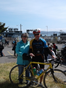
Hello, I am Bob, President of Journeys of Solutions. In 2009 I biked from Yorktown VA to San Francisco with vehicle support from my wife Sally in what I called Bike Journeys of Solutions. Why? Well because I had always wanted to ride across the country, and it was an opportunity to raise some funds for Journeys of Solutions. We had such a great experience that I have been thinking about doing it one more time ever since. After ten years we decided this is the year, Bike Journeys of Solutions 2.0.

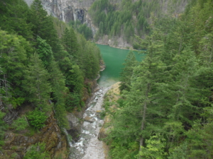
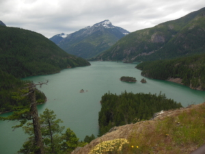
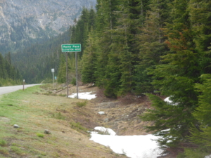
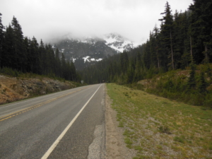
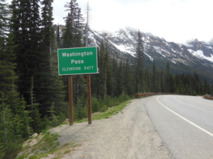
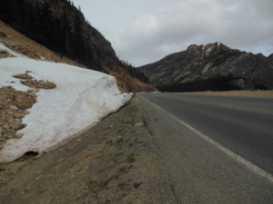
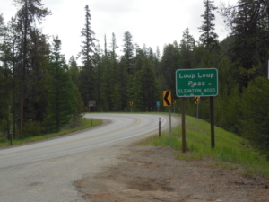
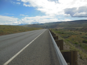
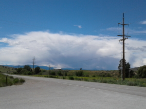
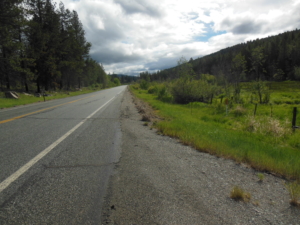
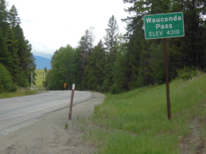
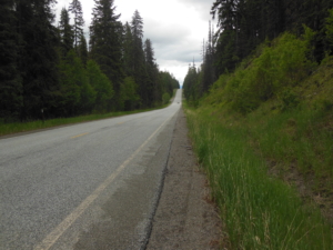
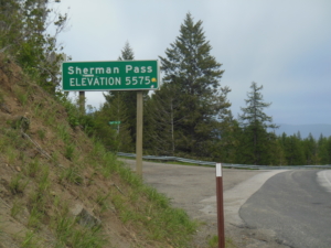
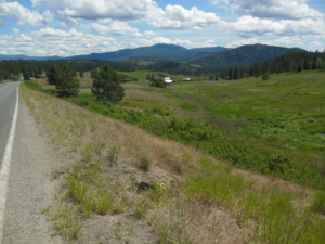
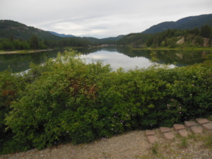
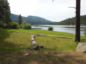
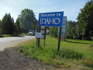
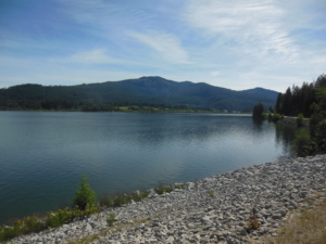
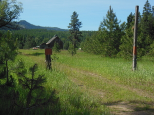
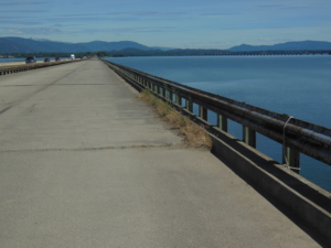
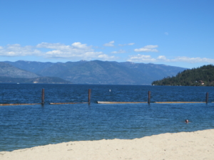
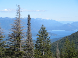
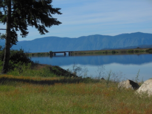
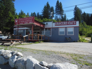
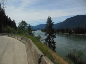
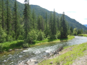
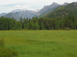
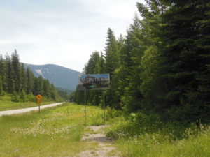
The route will go west to east, starting in Anacortes WA back to Rochester, and then hopefully on to finish in Bar Harbor, ME. The route goes through the states of Washington, Idaho, Montana, North Dakota, Minnesota, Wisconsin, Michigan, Ontario (Canada), New York, Vermont, New Hampshire, and finally Maine.

I will be maintaining this blog to document the trip. Once again I encourage readers to consider supporting Journeys of Solutions with a donation. If you are new to Journeys of Solutions, check out our web site at www.journeysofsolutions.org.

If all goes according to plan, the ride will start on Tuesday 6/4. Check this space for the first day’s post.

Anacortes to Concrete WA, 55 miles, fair with a tailwind.

And so it begins. On the first day of riding we started at the ferry terminal in Anacortes WA on Puget Sound. We will be following Adventure Cycling’s Northern Tier route. The riding started later than will be the usual case at 10 AM as we drove to the start from Kirkland. Thanks to Kurt, Jill, Liam, and Henry for hosting us last night. The route today was varied with lots of directions to navigate, traversing neighborhoods, bike paths, quiet country roads, and busy highways. The route will follow WA 20 for most of the way across WA. This first day will be the most congested and urban area for quite a while as we head east. Unfortunately, I had to deal with a flat tire at the end of the ride. Hopefully, that will get it over with for many miles to come. Of course one reward for a day of cycling is food; buffalo meat stroganoff  and “forest berry” pie.

In case you may be wondering how did we get here, I drove our truck out over six days and Sally flew in yesterday. She needed to support the Nellis Tavern Rhubarb fest.

Concrete WA to Rainy Pass (almost); 70 miles, mostly cloudy, 50-60s, brief showers, mostly tailwind

The first half of the day continued east along the Skagit River valley on Rt 20 and one long side road, with a very gentle continuous climb. A pleasant ride through tall evergreen forest. The traffic was light and the shoulders were reasonably wide. I have one of those bright flashing tail lights to make me visible. I met the SAG driver for lunch at the North Cascades NP visitor center. Lunch equals PB&J, an apple, some chips, and many cookies. The second half of the day involved several steeper climbs of 400-500 feet but then an unfortunate drop to lose the elevation gained as the road dipped into stream drainages. The goal was to reach Rainy Pass with a stretch goal the next pass, Washington Pass. The climb was moderate with step sections. Time and energy ended the quest about five miles short of the goal. We always start the next day from the exact location from which we left off the day before. We are just below the snow line, and there is plenty of snow in the higher elevations. That means there are many waterfalls with plenty of water. When riding by one close to the road, you get a blast of cold air like opening a refrigerator door. Tonight and last night WIFI service was only available outdoors. Tonight I am writing from a picnic table, last night is was a basketball court.

Scenes from the road. Seattle Power and Light has a series of dams for hydro electric power that creates large reservoirs.


Easy Pass CG to Upper Beaver Creek Rd (Twisp, WA); 59 miles; 40’s up high, 60’s in the valley, cloudy and then sunny, mostly tailwinds.

The day started with a 6 mile climb to Rainy Pass at 4855 feet in North Cascades NP. The Pacific Crest Trail crosses here. We thought about you Jim R. I arrived in snow flurries, how cool is that. Then a short down and another 4 mile climb to Washington Pass at 5477 feet. My climbing speed is slow these days. Then the descent – fairly steep and cold at the beginning, then more gradual and warmer at lower elevations. In fact the last 30 miles of the ride were basically downhill. Lunch at the Mazama General Store around the corner from where we stayed last night. The ride ended just east of Twisp 5 miles up the next pass that will be tackled first thing tomorrow. We are thinking pizza for dinner tonight. One other thing, the skies are hazy up high from fires in Canada. Some photos from the road.


Upper Beaver Creek Road (Twisp) to Talkire Lake Road (Tonasket), 65 miles, partly cloudy, threatening storms, 40-60’s

Another day, another pass to cross. This one is called Loup Loup Pass at 4020 feet. The climb gained 2000 feet in about 7.5 miles, so a  steady up. After the climb it was essentially all downhill the rest of the day. After the descent the route followed the Okanogan River valley. There were large thunderheads on all sides but we managed to thread the needle so no rain. The valley landscape is open range land with orchards. We enjoyed fresh picked cherries for lunch. One of the “perks” of this experience is the fact that you burn plenty of calories. On a typical day like today I probably burned 3000+. That means that you need to replenish those calories. We try to eat in local restaurants. Tonight in Tonasket it was Shannons. The Friday night special is prime rib with garlic mashed potatoes, broccoli with cheese, salad, and garlic bread.  Clean plate for me.


Talkire Lake Road to Sherman Pass (Republic), 52.4 miles, mostly cloudy, scattered showers, 40-60s

So not so many miles today but for good reason. It was a two pass day. Wauconde Pass (4310 ft) was first up, 22 miles up but with some flat sections, an elevation gain of ~2000 feet. Then a descent to Republic, where we are spending the night. We arrived just in time to catch their annual Prospectors’ Day celebration. Music, arts and crafts, food trucks, a gun fight reenactment on Main St, a beard contest, a parade, and so much more. After lunch Sally enjoyed the festival while I tackled the second pass. This climb was challenging, 3000 ft in elevation gain over 16 miles to Sherman Pass at 5575 feet. If I remember right, this will be the highest point of the entire trip, so glad to have it behind me.  It will be last pass of any consequence for the next few days. Lot’s of pasta for dinner tonight. The photos are from the road today and one of the parade.

Sherman Pass to Tacoma Creek Rd (Ione); 62 miles, mostly sunny, 40-70s

Best way to start a day is a 20 mile descent from Sherman Pass. The pass sported a little fresh snow along the sides of the road at 8 AM. We had a little bit of a late start as we had breakfast at a guest ranch a few miles from Republic where we stayed last night to let it warm up a bit at the pass. The large main lodge was constructed out of logs from the property by the owners. Very much a cowboy motif in every way including all of the staff dressed in cowboy gear, hat included. The route crossed the Columbia River ( Roosevelt Lake) at Kettle Falls, then on to Colville for lunch in a lush green town park with large trees. The balance of the ride continued on side roads and WA Rt 20, climbing in stages 1500 feet through ranches and then forest. We are staying tonight in Ione with a nice view of the Pend Oreille River. We are only 20 miles from the Canadian border.

Tacoma Creek Rd to Newport WA, 72 miles, mostly sunny 50-70s

The day started with a nice 1000′ descent and then the rest of the day’s riding was welcome flat with some rolling hills on a quiet side road along the Pend Oreille River. Occasionally there are wildlife sightings, mostly mule deer. Today it was a turkey hen with her brood of at least ten chicks, not that I stopped to count. Cyclists among you know that occasionally there are close encounters with insects as you ride along. Today I had a bee fly into my open shirt. As I was madly flaying around to squash it before it could sting me, a logging truck passed me of course. Just another day in the saddle. The route briefly crossed over into Idaho and then back into WA as we are staying in a nice B&B in Newport WA. Newport is right on the border. Tomorrow we leave WA behind for good, one state down. For the week we have come 435 miles, right on schedule. The photo is our lunch spot.

Newport WA to Sandpoint ID, 35 miles, sunny and 70’s

Today’s ride was a “rest day” as we needed to recharge the batteries and take care of some chores like laundry and an oil change for the truck. Sandpoint is on Lake Pend Oreille, a large lake (reservoir). It is somewhat of a resort town and the largest town we have been in since the start, and the largest town we will see for awhile. In addition to the chores we relaxed at the town beach and then drove up to the Mt Schweitzer ski area for a view of the lake and valley. The ride itself was hilly in places with a finish on a bike trail that has seen better days.

Sandpoint ID to Cabinet Range view point on MT 56, 61 miles, sunny 70-90’s

The route today followed ID State Route 200 into Montana. Some truck traffic and narrow shoulders but most drivers are courteous and pass with a wide berth. The route is following river valleys so no major climbs, just a few hills of a 100 -200 feet at a time. I had a wonderful stop at a local bakery for a cherry turnover. We have now gained back an hour as MT is in the Mountain Time Zone. Ten miles east of the  the state line, the route turned north on MT State Route 56 along the crystal clear Bull River. It just looks like a classic MT trout stream. This is a very nice ride, light traffic, a few hills, and views of high mountains in the distance. The end of the ride was dictated by the mileage goal as there are no services of any kind along Route 56. We are staying 18 miles away from the finish of today’s ride near Noxon, MT, in a motel that is part of a convenience store operation. The only food available was in a local bar, Toby’s Tavern. What a cool place, 50+ years of memorabilia from floor to ceiling. This is the value of having a support vehicle. Thanks Sally. Note the photo of the old cars lining the edge of a quarry along RT 200. You never know what may pop up next.